
Geology & Earth Sciences
The Canadian Shield is one of the oldest and most extensively studied geological formations on Earth. This reference covers the rock record, mineral systems, and structural history of the Precambrian craton that underlies much of Canada.
Rock Types & Formations
Key Topics
From granite batholiths that solidified 2.7 billion years ago to nickel-copper sulphide deposits still mined today, the Canadian Shield holds an unbroken archive of Earth's early crust. Three areas stand out for researchers and interested readers.
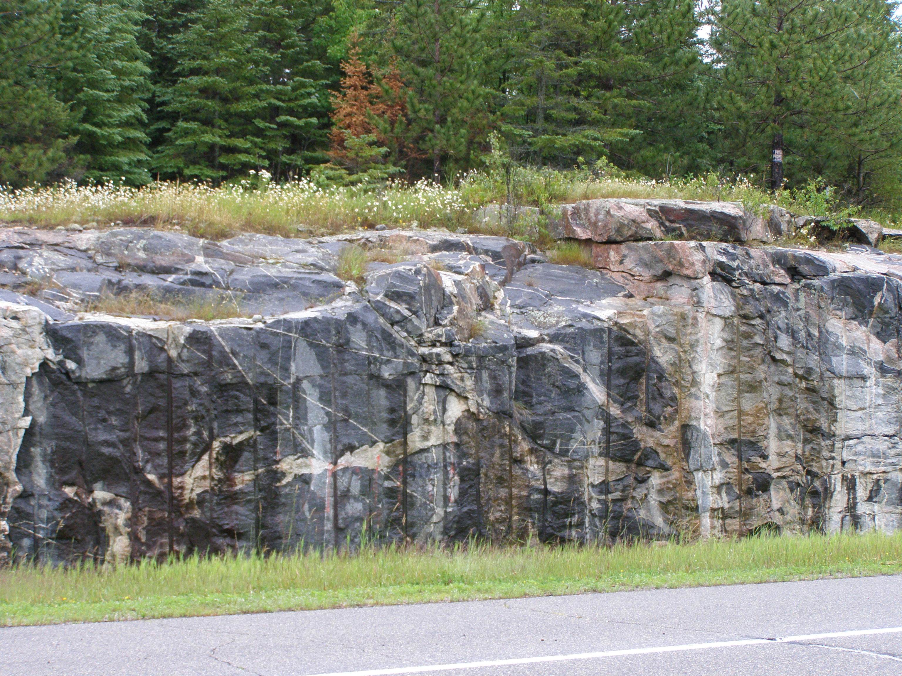
Petrology
Granite, gneiss, greenstone, and anorthosite — the four main lithologies of the Shield and what each reveals about ancient crustal processes.
Read article
Economic Geology
The Sudbury Igneous Complex hosts one of the world's largest known nickel-copper-PGE deposits. An account of its meteorite-impact origin and ore geometry.
Read article
Archean Geology
The Abitibi is the world's largest Archean greenstone belt and has produced over 180 million ounces of gold. A look at the volcanic and hydrothermal processes behind it.
Read articleThe Canadian Shield is not a single rock type or age. It is a mosaic of Archean cratons, Proterozoic fold belts, and sedimentary basins assembled over roughly 4 billion years of Earth history. Understanding that mosaic is the starting point for any serious reading of Canadian geology.
Rock type overviewAt a Glance

A 2.6 Ga granite intrusion in Manitoba, notable for its exceptionally low fracture density — relevant to deep geological repository research.

Formed ~1.85 Ga from a bolide impact. The norite and sublayer units host pentlandite-pyrrhotite ores that defined Canadian nickel output for a century.

Timmins, Ontario sits at the eastern end of the Abitibi belt. The Hollinger and McIntyre mines together produced more than 70 million ounces of gold from Neoarchean lode veins.
Context
The Shield's ancient rocks contain critical minerals — nickel, copper, cobalt, lithium, and platinum-group elements — that appear in EV battery supply chains and clean-energy technologies. Geological knowledge developed over 150 years of Canadian mining directly informs where those minerals are found and how safely they can be extracted.
Mineral deposit overviewContact
For factual corrections, source suggestions, or general inquiries about the content on this site, use the form below.
The GSC (Geological Survey of Canada) publishes freely available maps, open-file reports, and geochemical databases covering every province and territory. This site references GSC publications where noted.
Natural Resources Canada — Maps